홈 / 책 찾기 / Introduction to GIS Programming: A Pract…
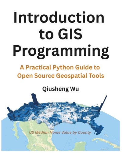
Introduction to GIS Programming: A Practical Python Guide to Open Source Geospatial Tools
Introduction to GIS Programming offers a comprehensive, hands-on introduction to the world of geospatial analysis using Python. Designed for learners of all levels, this book breaks down the complexities of Geographic Information Systems (GIS) into clear, actionable steps, making it ideal for students, researchers, professionals, and self-learners interested in mastering spatial data programming.
Geospatial data has become a key player across numerous fields, including environmental science, urban planning, public health, and business analytics. As the volume and sophistication of this data increase, the need for accessible tools to analyze, process, and visualize it has never been greater. Python, with its rich ecosystem of libraries, is the go-to programming language for working with geospatial data—yet navigating the wide array of libraries and concepts can be overwhelming. This book provides the structure and clarity needed to move from Python novice to confident geospatial programmer.
What sets this book apart is its step-by-step, example-driven approach. Beginning with foundational Python programming skills, you'll build your understanding gradually, progressing to advanced techniques in geospatial analysis. The content is designed to be interactive, with real-world datasets and practical exercises that allow you to apply your skills immediately. You'll work through a variety of projects, from basic spatial data manipulation to building interactive dashboards and cloud-based geospatial applications.
Whether you're looking to automate GIS workflows, develop geospatial web applications, or deepen your spatial data science skills, Introduction to GIS Programming with Python will guide you through the entire process with clarity and confidence.
What You Will Learn:
Setting Up Your Development Environment: Tools like Miniconda, VS Code, Git, and Google Colab for geospatial programming. Core Python Programming: Including data types, control flow, functions, classes, file handling, and libraries like NumPy and Pandas for data manipulation. Geospatial Programming: Hands-on instruction with libraries like GeoPandas, Rasterio, Leafmap, and Geemap for working with vector and raster data, performing geospatial analysis, and creating interactive visualizations. Advanced Topics: Cloud computing with Google Earth Engine, hyperspectral data analysis, high-performance geospatial analytics, and distributed computing with Apache Sedona.
Key Features:
Clear, easy-to-follow explanations and annotated code examples. Real-world, authentic datasets to ensure practical learning. Hands-on exercises to reinforce each chapter's concepts. Guidance on common pitfalls and troubleshooting. In-depth coverage of both beginner and advanced topics in geospatial programming. Complementary video tutorials and a GitHub repository for additional resources and materials.
By the end of this book, you'll be equipped with the skills to tackle real-world geospatial programming challenges. Whether you aim to build sophisticated spatial data applications, automate geospatial workflows, or simply enhance your analytical capabilities, this book will give you the confidence to succeed in the field of GIS programming with Python.
| 제목 | Introduction to GIS Programming: A Practical Python Guide to Open Source Geospatial Tools |
|---|---|
| 저자 | Qiusheng Wu |
| 출판사 | Self Published |
| 출간 | 2025 |
| ISBN | 9798286979455 |
배송
결제가 확인되면 해외 판매처에 주문을 넣습니다. 받으시기까지 보통 2~3주 걸립니다. 국내에 들어오면 택배 송장번호를 주문 화면과 문자로 알려 드립니다.
통관
개인 주문은 개인통관고유부호가 필요합니다. 주문서에 넣어 주시고, 받은 번호는 그 주문에만 씁니다.
취소, 반품
해외 주문 전에는 주문 화면에서 바로 취소하실 수 있고 전액 환불됩니다. 해외 주문 뒤에는 단순 변심 취소가 어렵습니다. 받으신 책이 설명과 크게 다르거나 파손되었으면 다시 구해 드리거나 환불합니다.